
Mapa topográfico Nooitgedacht
Mapa interactivo
Haga clic en el mapa para ver la altitud.
Acerca de este mapa
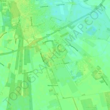
Nombre: Mapa topográfico Nooitgedacht, altitud, relieve.
Lugar: Nooitgedacht, Aa en Hunze, Drenthe, Nederland (52.95697 6.65256 52.98518 6.71152)
Altitud media: 16 m
Altitud mínima: 8 m
Altitud máxima: 20 m
Otros mapas topográficos
Haga clic en un mapa para ver su topografía, su altitud y su relieve.
Oosterbroek
Oosterbroek, Eelde, Tynaarlo, Drenthe, Nederland, 9761 TG, Nederland
Altitud media: 3 m
Oosterhesselen
Nederland > Drenthe > Coevorden
Oosterhesselen, Coevorden, Drenthe, Nederland
Altitud media: 15 m
Nieuw-Buinen
Nederland > Drenthe > Nieuw-Buinen
Nieuw-Buinen, Borger-Odoorn, Drenthe, Nederland
Altitud media: 7 m