
Mapa topográfico Aalden
Mapa interactivo
Haga clic en el mapa para ver la altitud.
Acerca de este mapa
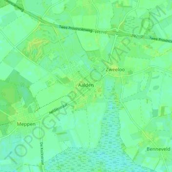
Nombre: Mapa topográfico Aalden, altitud, relieve.
Lugar: Aalden, Coevorden, Drenthe, Nederland (52.77057 6.66789 52.81016 6.73511)
Altitud media: 18 m
Altitud mínima: 12 m
Altitud máxima: 23 m
Otros mapas topográficos
Haga clic en un mapa para ver su topografía, su altitud y su relieve.
Oosterhesselen
Nederland > Drenthe > Coevorden
Oosterhesselen, Coevorden, Drenthe, Nederland
Altitud media: 15 m