
Mapa topográfico Klausenpass
Mapa interactivo
Haga clic en el mapa para ver la altitud.
Klausenpass
Klausen Pass (German: Klausenpass; elevation: 1,948 metres or 6,391 feet) is a high mountain pass in the Swiss Alps connecting Altdorf in the canton of Uri with Linthal in the canton of Glarus. Somewhat unusually, the boundary between the two cantons does not lie at the summit of the pass, but some 8 kilometres (5.0 mi) down the slope towards Linthal, with the summit being in Uri.
Acerca de este mapa
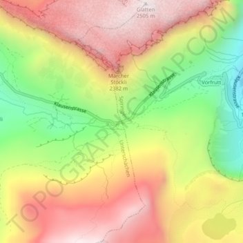
Nombre: Mapa topográfico Klausenpass, altitud, relieve.
Lugar: Klausenpass, Unterschächen, Uri, 6465, Switzerland (46.86814 8.85539 46.86824 8.85549)
Altitud media: 2 103 m
Altitud mínima: 1 631 m
Altitud máxima: 2 509 m