
Mapa topográfico Silverthorne
Haga clic en el mapa para ver la altitud.
Acerca de este mapa
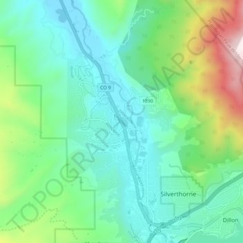
Nombre: Mapa topográfico Silverthorne, altitud, relieve.
Altitud media: 2 858 m
Altitud mínima: 2 607 m
Altitud máxima: 3 612 m
Otros mapas topográficos
Haga clic en un mapa para ver su topografía, su altitud y su relieve.
Hoosier Pass
United States > Colorado > Summit County
Hoosier Pass (elevation 11,542 ft (3,518 m)) is a high mountain pass in central Colorado, in the Rocky Mountains of the western United States. The name derives from Indiana, nicknamed the "Hoosier State," which was the original home of many pioneers.
Altitud media: 3 490 m
Boreas Pass
United States > Colorado > Summit County
Boreas Pass (elevation 11,481 ft (3,499 m)) is a high mountain pass in central Colorado, in the Rocky Mountains of the western United States. The pass is located on the continental divide, at the crest of the Front Range along the border between Park (south) and Summit counties.
Altitud media: 3 559 m