
Gracias por apoyar a este sitio ❤️
Haz una donación
Haz una donación
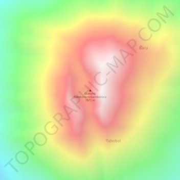
Mapa topográfico Mount Gamkonora
Haga clic en el mapa para ver la altitud.
Gracias por apoyar a este sitio ❤️
Haz una donación
Haz una donación
Mount Gamkonora
Mount Gamkonora is a stratovolcano on Halmahera island, Indonesia. With an elevation of 1,560 metres (5,118 ft), it is the highest peak on the island. It has produced an elongated series of craters along the north–south rift.
Gracias por apoyar a este sitio ❤️
Haz una donación
Haz una donación
Acerca de este mapa
Nombre: Mapa topográfico Mount Gamkonora, altitud, relieve.
Altitud media: 1 113 m
Altitud mínima: 593 m
Altitud máxima: 1 549 m
Gracias por apoyar a este sitio ❤️
Haz una donación
Haz una donación