
Mapa topográfico Emmadorp
Mapa interactivo
Haga clic en el mapa para ver la altitud.
Acerca de este mapa
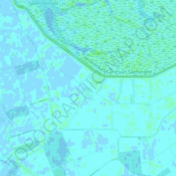
Nombre: Mapa topográfico Emmadorp, altitud, relieve.
Altitud media: 1 m
Altitud mínima: -3 m
Altitud máxima: 6 m
Otros mapas topográficos
Haga clic en un mapa para ver su topografía, su altitud y su relieve.
Verdronken Land van Saeftinghe
Nederland > Zeeland > Nieuw Namen
Verdronken Land van Saeftinghe, Nieuw Namen, Hulst, Zeeland, Nederland, 4568 PW, Nederland
Altitud media: 1 m
Nieuw Namen
Nederland > Zeeland > Nieuw Namen
Nieuw Namen, Hulst, Zeeland, Nederland
Altitud media: 1 m