
Mapa topográfico Lierhand
Mapa interactivo
Haga clic en el mapa para ver la altitud.
Acerca de este mapa
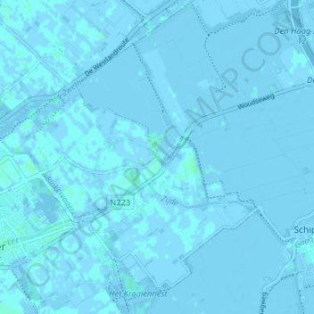
Nombre: Mapa topográfico Lierhand, altitud, relieve.
Altitud media: 0 m
Altitud mínima: -5 m
Altitud máxima: 3 m
Otros mapas topográficos
Haga clic en un mapa para ver su topografía, su altitud y su relieve.
Oostbuurt
Nederland > Zuid-Holland > De Lier
Oostbuurt, De Lier, Westland, Zuid-Holland, Nederland, 2678 LT, Nederland
Altitud media: 0 m