
Mapa topográfico Altweerterheide
Mapa interactivo
Haga clic en el mapa para ver la altitud.
Acerca de este mapa
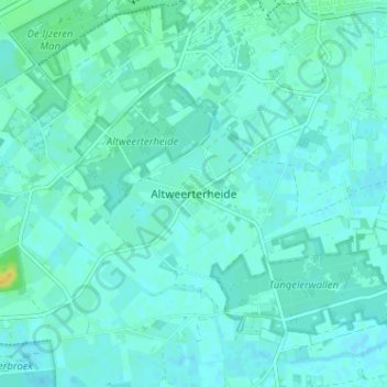
Nombre: Mapa topográfico Altweerterheide, altitud, relieve.
Lugar: Altweerterheide, Weert, Limburg, Nederland, 6006 TS, Nederland (51.20015 5.65939 51.24015 5.69939)
Altitud media: 34 m
Altitud mínima: 30 m
Altitud máxima: 52 m
Otros mapas topográficos
Haga clic en un mapa para ver su topografía, su altitud y su relieve.
Swartbroek
Swartbroek, Weert, Limburg, Nederland, 6005 PD, Nederland
Altitud media: 31 m