
Mapa topográfico Khardaha
Mapa interactivo
Haga clic en el mapa para ver la altitud.
Acerca de este mapa
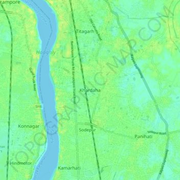
Nombre: Mapa topográfico Khardaha, altitud, relieve.
Altitud media: 7 m
Altitud mínima: -3 m
Altitud máxima: 15 m
Khardaha is located at 22°43′N 88°23′E / 22.72°N 88.38°E / 22.72; 88.38.[4] It has an average elevation of 15 m (49 ft). It has a railway station on the Sealdah-Ranaghat section, sandwiched between Sodepur and Sukchar (to the south) and Titagarh (to the north). The railway station divides the town into two parts - the eastern part is known as Rahara, while the western part is known as Khardaha.
Otros mapas topográficos
Haga clic en un mapa para ver su topografía, su altitud y su relieve.
Kamarhati
India > West Bengal > Barrackpur - II
Kamarhati, Barrackpur - II, North 24 Parganas, West Bengal, 700058, India
Altitud media: 6 m