
Mapa topográfico Ledrosee
Mapa interactivo
Haga clic en el mapa para ver la altitud.
Acerca de este mapa
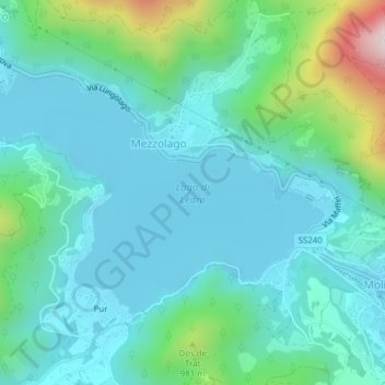
Nombre: Mapa topográfico Ledrosee, altitud, relieve.
Altitud media: 768 m
Altitud mínima: 643 m
Altitud máxima: 1 290 m
Der Lago di Ledro liegt auf 655 m s.l.m. Höhe zwischen dem Gardasee und dem Idrosee am Ostende des Valle di Ledro. Der See hat eine Fläche von 2,187 km². Die tiefste Stelle liegt 47 m unter der Wasseroberfläche.