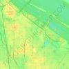
Mapa topográfico Eva
Haga clic en el mapa para ver la altitud.
Eva
According to the U.S. Census Bureau, the town of Eva has a total area of 4.3 square miles (11 km2), of which 0.03 square miles (0.08 km2), or 0.74%, are water. The town center, at an elevation of 1,105 feet (337 m) above sea level, is just north of the Tennessee Valley Divide. The town drains west toward Flint Creek and east toward Cotaco Creek, both of which are north-flowing tributaries of the Tennessee River. The southernmost parts of town drain south to Eightmile Creek, a tributary of the Broglen River and part of the Mulberry Fork of the Black Warrior River watershed.
Acerca de este mapa
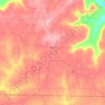
Nombre: Mapa topográfico Eva, altitud, relieve.
Lugar: Eva, Morgan County, Alabama, United States (34.30656 -86.78903 34.35278 -86.72290)
Altitud media: 313 m
Altitud mínima: 204 m
Altitud máxima: 351 m
Otros mapas topográficos
Haga clic en un mapa para ver su topografía, su altitud y su relieve.